Kentucky Printable Map
|
DISCIPLINES Geography Cartography Statistics |
OVERVIEW
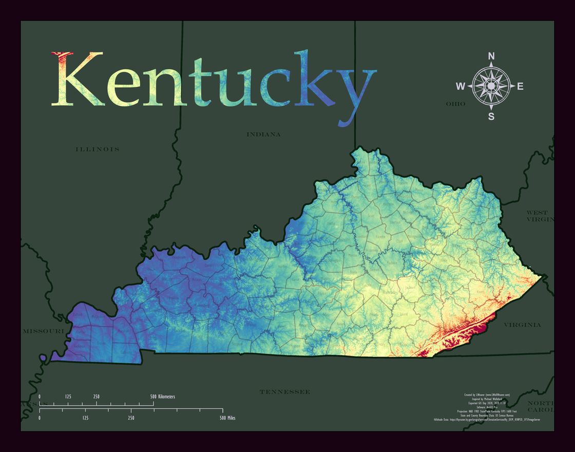
Inspiration for this map came from my brother-in-law's request for small Kentucky wall map recommendations. The next day happened to be GIS Day 2020 so I commemorated the day by creating this aesthetically interesting standard 11x14 sized Kentucky map. It features a hillshade from a web service symbolized with an interesting blue to red spectrum. That spectrum is also featured in a custom "Kentucky" title created in photoshop. Looking more closely, one observes transparent TIGER outlines and titles for Kentucky's 120 counties.
|
|
Hard Skills
Visualization
Map Development Data Mining/Collection Data Management Data Processing |
Soft SkillsCollaboration
Communication Innovation Presentation Problem Solving |
This was created by L Well. Weaver, GISP with inspiration from Michael Welleford and creative input from Andrew Welleford.
Production Date: 2020.11